Petroleum refineries
Compare refinery locations and operating and operable refining capacities, with current report matches and historical map vintages visible in Korzy.
Reference snapshot

See where major crude oil routes sit within an energy and logistics network. Route geometry and original source attributes provide geographical context for refinery, terminal and industrial-site research.
Sign upPart of Power & Energy
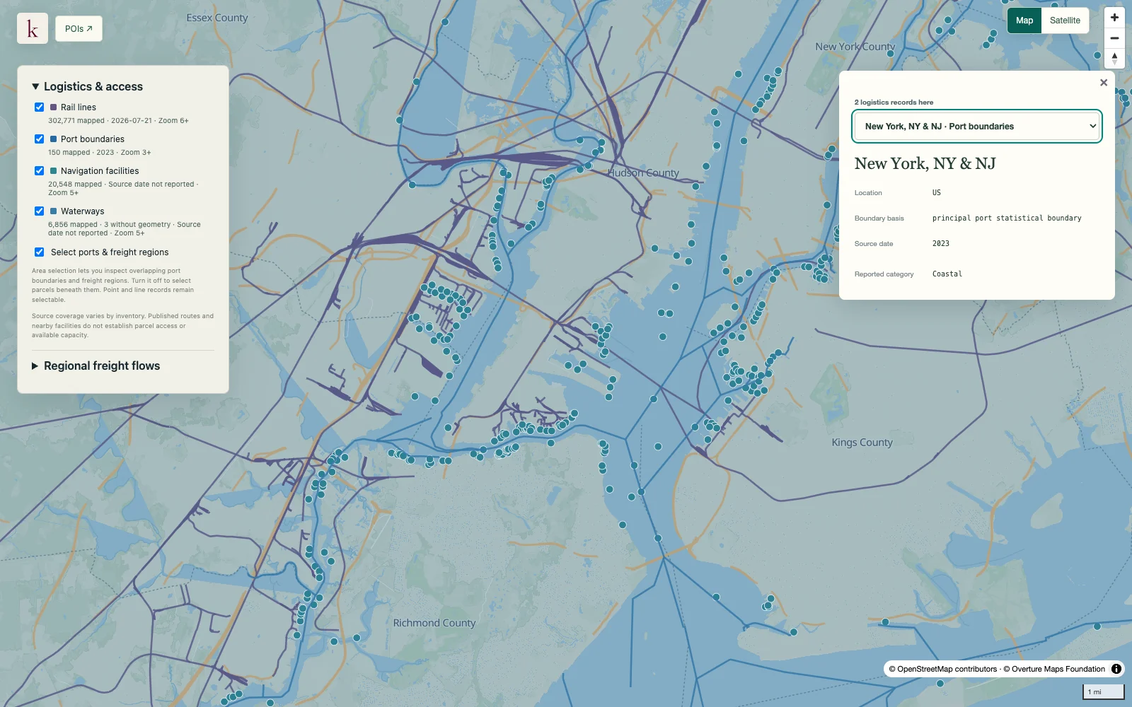
This is a major-route map. Individual records can represent extensive multipart routes, so a record count does not measure the number of pipes, owners, rights of way or miles in the national system.
This source does not report usable pipeline throughput, operating pressure or capacity available to a new customer.
Sign up for Korzy release updates. Tell us a little about yourself and what you're working on so we can reach out.