Home / Datasets / Highway freight corridors Highway freight corridors Identify roads designated as part of the national freight network. Corridor geography adds policy and network context to a site search without substituting designation for current road performance.
Sign up 13K+ freight-network features · observed 2026-09-23
Coverage 13K+ freight corridor features from the January 2023 compilation. Underlying road-record years and the network publication version remain distinct. See what's inside Part of Transport & Logistics
Time structure Reference snapshot
History available Published inventory or reporting period; see coverage for the source dates.
Observation frequency Varies by underlying publication.
Reporting lag A refresh does not change the date of the underlying observation.
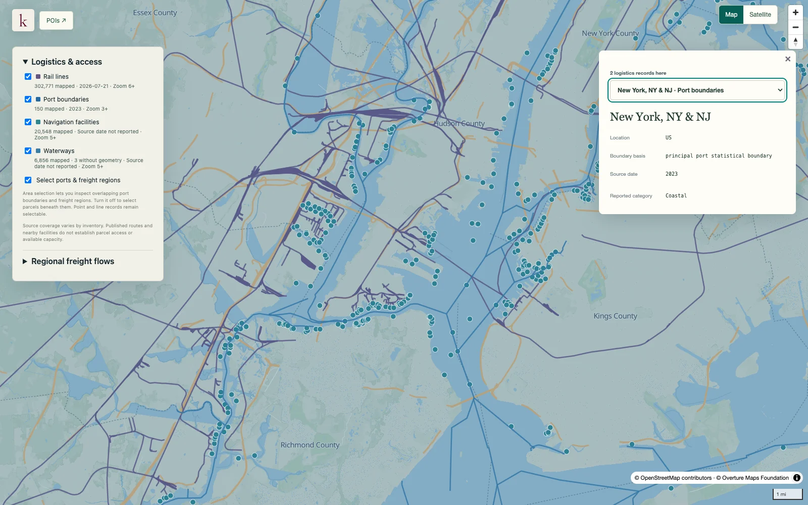
Inventory checked 2026-09-23. Coverage dates describe this checked inventory. New York / New Jersey harbor · Port, rail and waterway context. What's in this dataset
Route and segment Published route name, identifier and line geometry.
Freight designation Source network classification or designation attributes.
State and version Geographical identifiers and the reported network version.
Underlying vintage Original roadway reporting fields remain separate from the compilation date. Questions worth exploring Compare candidate sites with designated freight corridors. Combine network designation with separate road traffic and bridge records. Tell us about your project
About this data Does designation mean a route has spare capacity?+ No. Freight-network membership does not measure congestion, lane availability or additional traffic a road can accept.
Does the designation establish legal truck access to a parcel?+ It does not establish a driveway permit, local-road restriction or truck route between the corridor and the site.