Add regional air-quality designation context to a proposed development. features keep the pollutant standard and current designation status attached to each mapped area.
Published inventory or reporting period; see coverage for the source dates.
Observation frequency
Varies by underlying publication.
Reporting lag
A refresh does not change the date of the underlying observation.
Inventory checked
2026-09-23. Coverage dates describe this checked inventory.
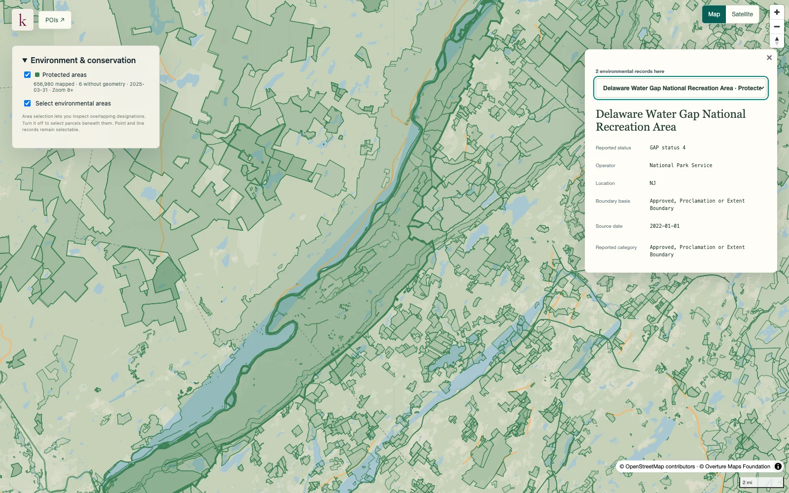
Delaware Water Gap · Protected-area boundaries and source context.
What's in this dataset
Pollutant and standard
The specific air-quality standard associated with the feature.
Designation status
Nonattainment and maintenance are distinguished in the current source.
Area and state portion
Published area name and jurisdictional portion.
Boundary and provenance
Display geometry remains linked to the originating designation record.
About this data
Does this show today's air quality?+
No. Designation areas describe regulatory status under particular standards. They are different from current monitor readings, forecasts or an air-quality index.
Does a designation determine a project's permit outcome?+
It provides relevant regional context, not a project-specific permit decision. Legal area definitions and the proposed activity require separate review.