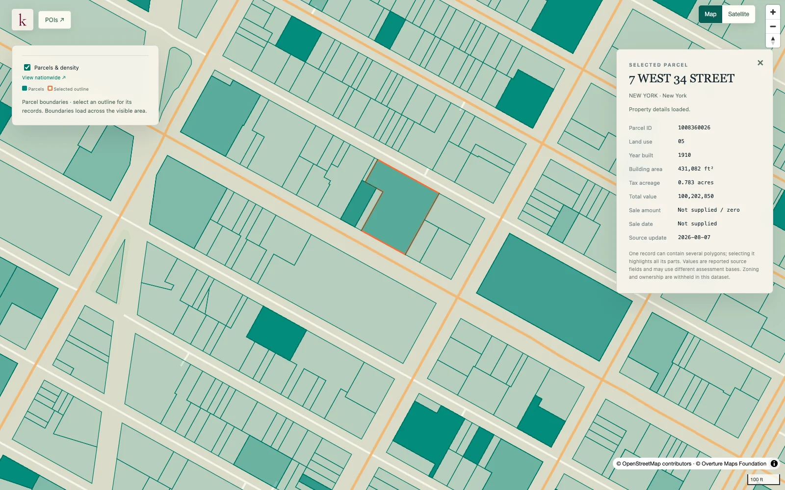
Start with a property boundary and examine the systems around it. Korzy brings parcel geometry and reported property attributes into the same workspace as infrastructure, terrain and environmental context.
Published inventory or reporting period; see coverage for the source dates.
Observation frequency
Varies by underlying publication.
Reporting lag
A refresh does not change the date of the underlying observation.
Inventory checked
2026-09-23. Coverage dates describe this checked inventory.
Midtown Manhattan, New York · Parcel boundaries and a selected property record.
What's in this dataset
Parcel identity and boundary
Source parcel identifiers and full mapped geometry, including disconnected pieces.
Address and geography
Reported property address, state and county identifiers where supplied.
Property characteristics
Reported land use, acreage, building area and value fields with varying completeness.
Nearby context
Independent utility, infrastructure and terrain lookups attached to the selected parcel.
About this data
Does Korzy provide owner contact information?+
Ownership fields and redacted zoning are not exposed in the current parcel product. The parcel workspace focuses on geography, reported property characteristics and surrounding systems.
Are the records unique pieces of land?+
No. Source records can overlap, particularly for condominium interests. The national count describes records rather than distinct land footprints.