Find properties reported through the brownfields program and bring them into a redevelopment search. Program records provide a starting point for understanding the area's documented assessment and cleanup context.
Published inventory or reporting period; see coverage for the source dates.
Observation frequency
Varies by underlying publication.
Reporting lag
A refresh does not change the date of the underlying observation.
Inventory checked
2026-09-23. Coverage dates describe this checked inventory.
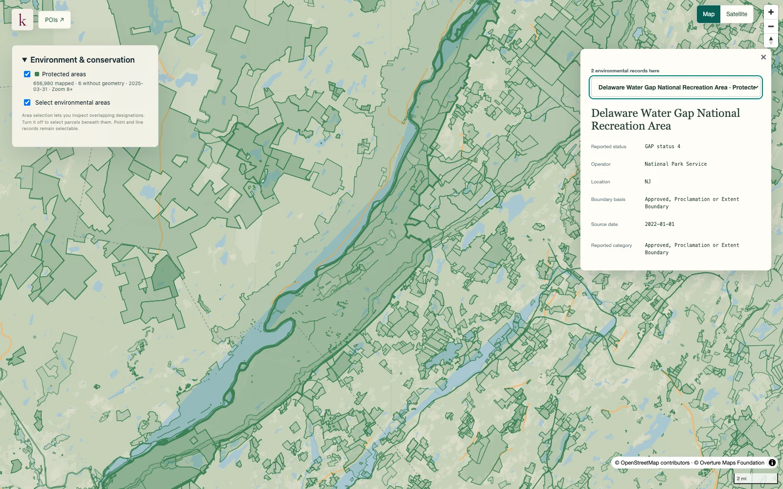
Delaware Water Gap · Protected-area boundaries and source context.
What's in this dataset
Property or facility name
Reported name and registry identity.
Program location
Published point and geographical attributes.
Program record
Original program attributes retain the basis of the entry.
Source provenance
Dataset and record details support follow-up in the originating program.
About this data
Does an entry prove contamination?+
A registry entry establishes program reporting, not by itself the presence, severity or extent of contamination.
Can these records confirm cleanup completion?+
The location alone cannot establish completion or suitability for a proposed use. Review the source program documents and property-specific conditions.