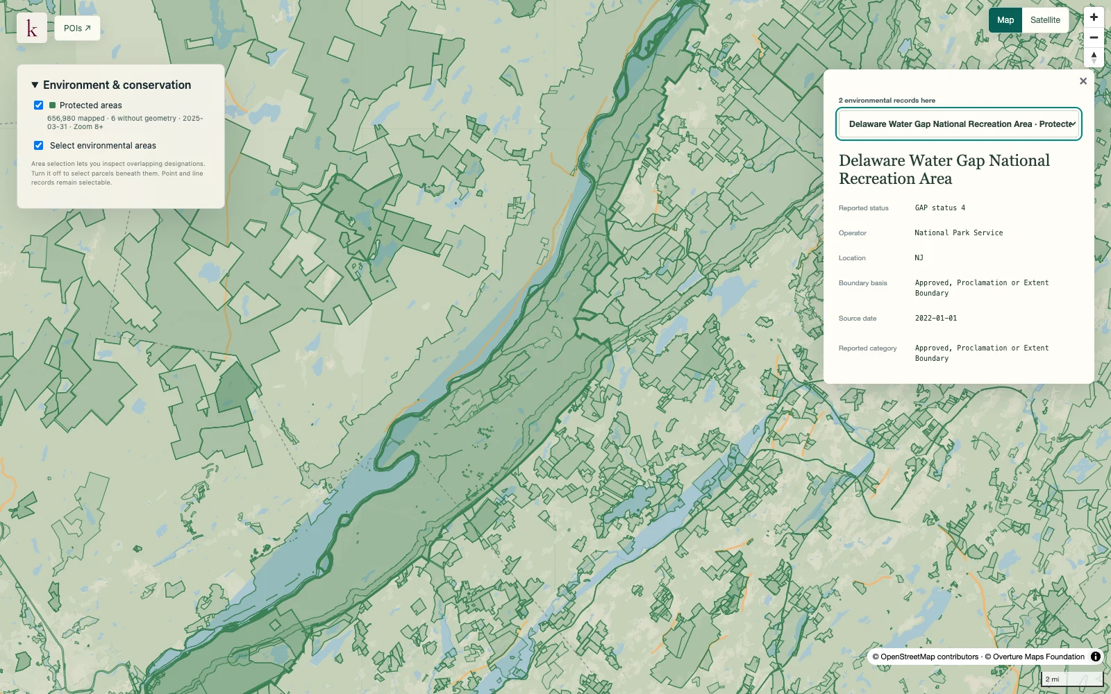
Look beyond a cleanup-site point to inspect published environmental boundaries. The source's feature type helps distinguish facility boundaries from contamination-related or other mapped extents.
Published inventory or reporting period; see coverage for the source dates.
Observation frequency
Varies by underlying publication.
Reporting lag
A refresh does not change the date of the underlying observation.
Inventory checked
2026-09-23. Coverage dates describe this checked inventory.
Delaware Water Gap · Protected-area boundaries and source context.
What's in this dataset
Site identity
Site name and source identifiers.
Extent type
Reported feature classification explains what the polygon represents.
Program and status
Available source program and site-status attributes.
Boundary geometry
Published areas retained separately when a site has multiple features.
About this data
Does every polygon represent contaminated land?+
No. feature types can describe facility boundaries or other mapped extents. The classification and source record must be checked before interpreting an overlap.
Is a site absent from this layer free of contamination?+
Absence is not a clean-site determination. The dataset covers published program features and does not replace environmental assessment or local records.