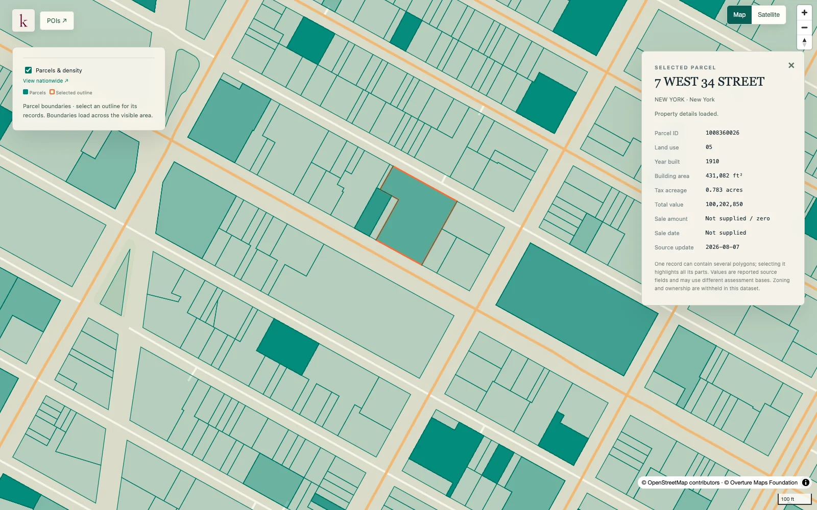
See the built form surrounding a property without leaving the map. Building footprints and contextual extrusions help orient a site review alongside parcel boundaries, roads and infrastructure.
Published inventory or reporting period; see coverage for the source dates.
Observation frequency
Varies by underlying publication.
Reporting lag
A refresh does not change the date of the underlying observation.
Inventory checked
2026-09-23. Coverage dates describe this checked inventory.
Midtown Manhattan, New York · Parcel boundaries and a selected property record.
What's in this dataset
Footprint geometry
Published building outlines provide visual context at neighborhood scale.
Reported height
Where available, source height supports the contextual extrusion.
Display fallback
Buildings without height can use a generic display height, which is not a measurement.
Source release
The recorded release date identifies the basemap vintage.
About this data
Is every 3D building height measured?+
No. The map uses reported heights where supplied and a generic display fallback where missing. The extrusion is visual context rather than a survey or building measurement.
Does a footprint establish use, occupancy or ownership?+
A building outline does not establish a tenant, current use, vacancy or owner. Those claims require separate property or facility evidence.