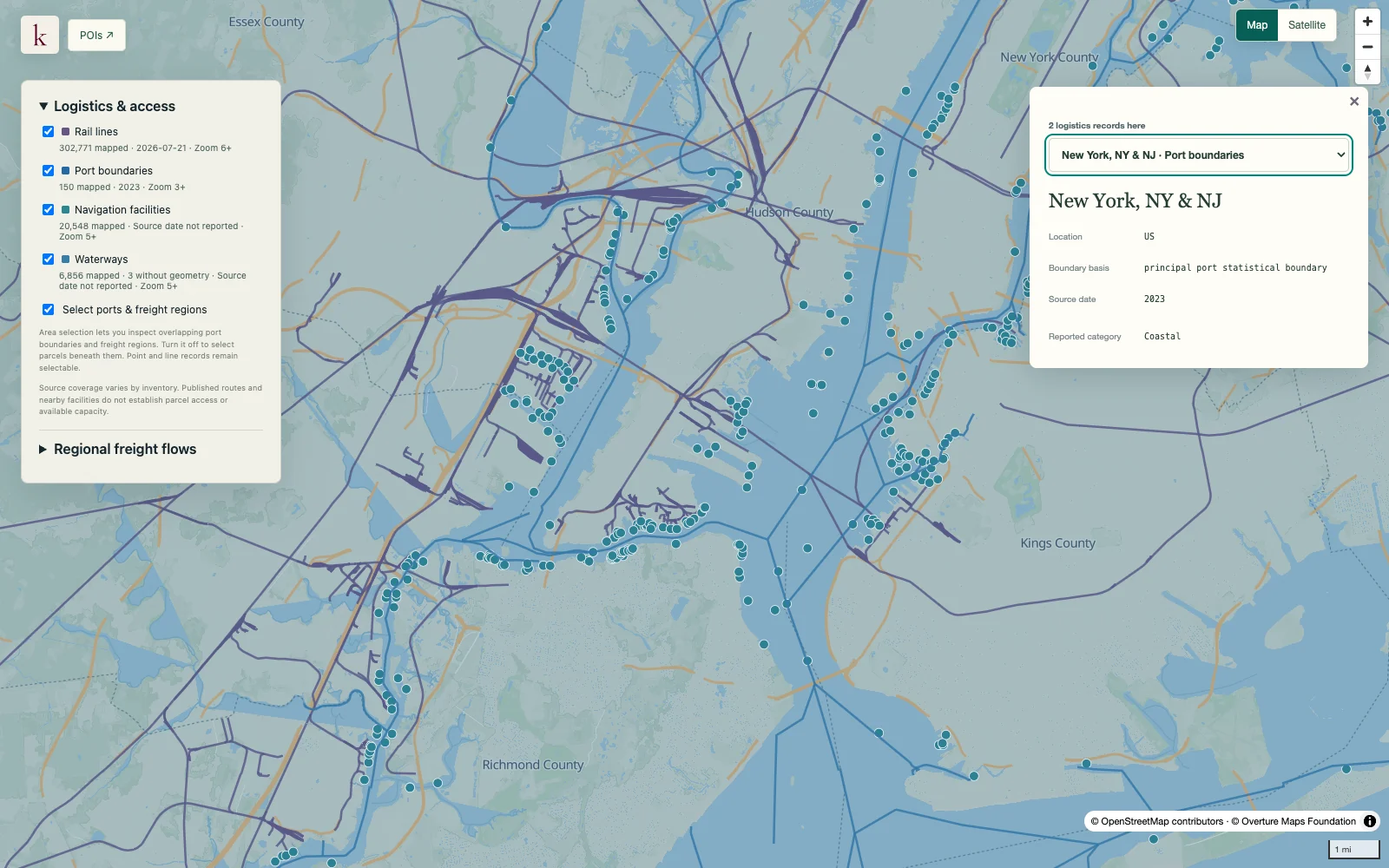
Home / Datasets / Docks and navigation facilities Docks and navigation facilities Move from a port region to individual reported navigation facilities. Facility descriptions preserve the source's handling, access and commodity information for more specific waterfront-site research.
Sign up 21K+ navigation facility records · observed 2026-09-23
Coverage 21K+ navigation-unit records, including source-covered territories and outlying locations. Parent and child units remain distinct; descriptions have mixed or unspecified vintages rather than one current operating date. See what's inside Part of Transport & Logistics
Time structure Reference snapshot
History available Published inventory or reporting period; see coverage for the source dates.
Observation frequency Varies by underlying publication.
Reporting lag A refresh does not change the date of the underlying observation.
Inventory checked 2026-09-23. Coverage dates describe this checked inventory. New York / New Jersey harbor · Port, rail and waterway context. What's in this dataset
Navigation unit Source identity, facility name and type.
Reported organizations Owner and operator attributes remain source claims with distinct roles.
Cargo and handling Commodity descriptions, mechanical handling and construction notes where available.
Access and berth notes Published road, rail, depth and deck attributes retain their original context. Questions worth exploring Find specific facilities within a port or waterway region. Investigate documented access and cargo-handling characteristics before contacting operators. Tell us about your project
About this data Does a published depth establish today's vessel clearance?+ No. Historical depth or berth notes do not account for present dredging, tides, operating restrictions or current navigation notices.
Does a validated record mean the facility is open?+ Source validation concerns publication of the record. It is not proof of current operation, commercial access or available berth capacity.