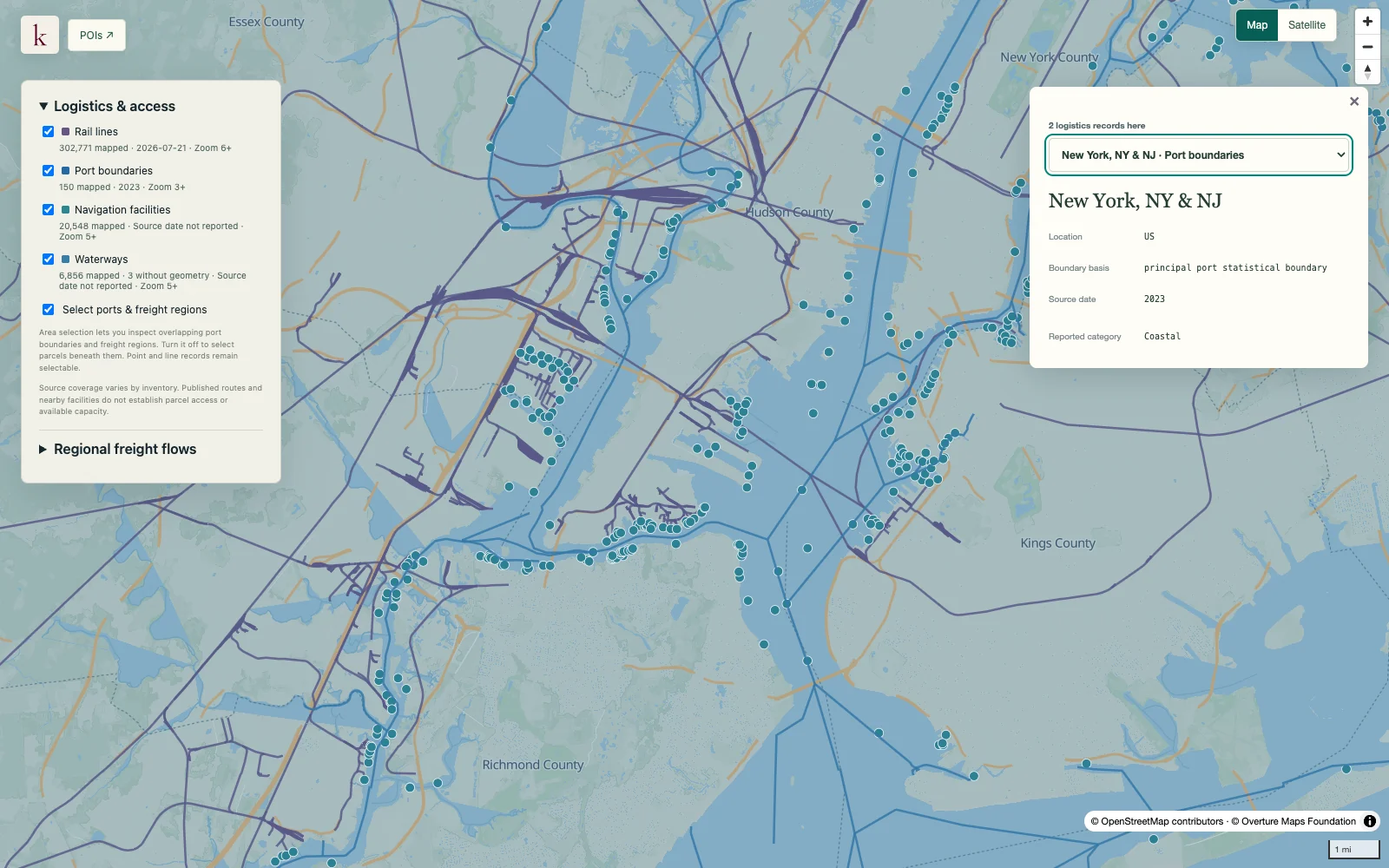
See the network geography connecting waterborne freight regions. Published links help orient a port and terminal review while preserving the distinction between analytical routes and maintained channels.
Published inventory or reporting period; see coverage for the source dates.
Observation frequency
Varies by underlying publication.
Reporting lag
A refresh does not change the date of the underlying observation.
Inventory checked
2026-09-23. Coverage dates describe this checked inventory.
New York / New Jersey harbor · Port, rail and waterway context.
What's in this dataset
Link identity
Source network link and waterway or river name.
Classification
Published link type and network attributes.
Network geometry
Line geometry, including source analytical and offshore connections.
Record date
Source modification date where valid, rather than an inferred navigation survey date.
About this data
Is a link a maintained navigation channel boundary?+
No. It is network linework and can represent an analytical connection. Channel boundaries, dredging and operating requirements must be checked separately.
Can the layer provide a feasible vessel route?+
Network proximity does not establish present depth, vessel dimensions, lock restrictions or operational routing feasibility.
Compare regional commodity flows by origin, destination and mode, retaining estimated tonnage, value and domestic or international trade context in Korzy.
Reference snapshot2M+ regional flow observations
Get early access
Sign up for Korzy release updates. Tell us a little about yourself and what you're working on so we can reach out.