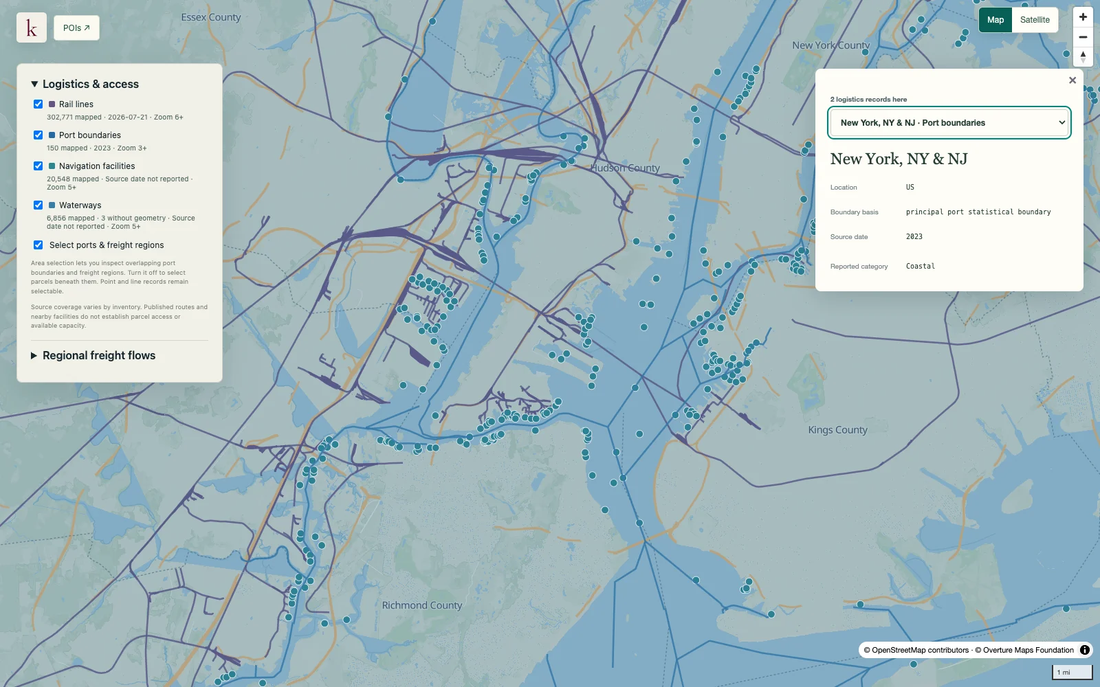
Principal port boundaries and tonnage

Understand a port as a geographical system that can contain many terminals. Published port boundaries and historical cargo totals provide regional context for waterfront and inland logistics decisions.

Sign up

Part of Transport & Logistics

Rail lines, waterways and port areas around New York and New Jersey harbor in Korzy
New York / New Jersey harbor · Port, rail and waterway context.

What's in this dataset

Port identity and rank
Source port code, name and reported ranking.
Published boundary
Original port area geometry is retained.
Cargo tonnage
Total, domestic, foreign, import and export short tons where reported.
Reporting year
Cargo measures retain their calendar-year basis.

About this data

Does tonnage measure available port capacity?

It measures historical cargo movements. It does not establish maximum throughput, current utilization or room for a new customer's cargo.

Does the polygon identify port-owned land?

No. A principal port boundary is not a parcel title boundary and may contain multiple facilities with different owners and operators.

Get early access

Sign up for Korzy release updates. Tell us a little about yourself and what you're working on so we can reach out.