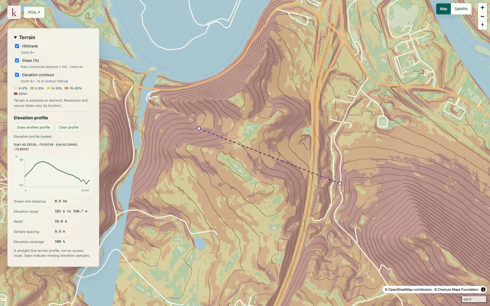
See how the ground changes across a site before commissioning detailed design work. Korzy combines terrain overlays with parcel slope statistics and drawn-line elevation profiles from the national elevation baseline.
Published inventory or reporting period; see coverage for the source dates.
Observation frequency
Varies by underlying publication.
Reporting lag
A refresh does not change the date of the underlying observation.
Inventory checked
2026-09-23. Coverage dates describe this checked inventory.
Berks County, Pennsylvania · Terrain layers and an elevation profile.
What's in this dataset
Elevation and relief
Minimum, maximum and elevation range in metres for valid samples.
Percent slope
Median, 90th percentile, slope classes and acreage beneath a selected threshold.
Coverage and spacing
Actual raster spacing, valid area and source metadata remain separate.
Elevation profile
Distance and elevation samples along a line, preserving gaps and endpoints.
About this data
Is the analysis based on one-metre lidar?+
The current analysis uses the national baseline elevation. A finer display grid does not create finer source detail, and underlying survey dates and quality vary.
Does low slope mean an area is buildable?+
Slope describes terrain only. Grading, drainage, geotechnical conditions, access and permissions require separate investigation; the output is a screening estimate rather than a survey.