Identify the community water-system areas reported around a property. Boundary evidence helps frame the right utility questions while keeping modeled coverage distinct from system-supplied geography.
Published inventory or reporting period; see coverage for the source dates.
Observation frequency
Varies by underlying publication.
Reporting lag
A refresh does not change the date of the underlying observation.
Inventory checked
2026-09-23. Coverage dates describe this checked inventory.
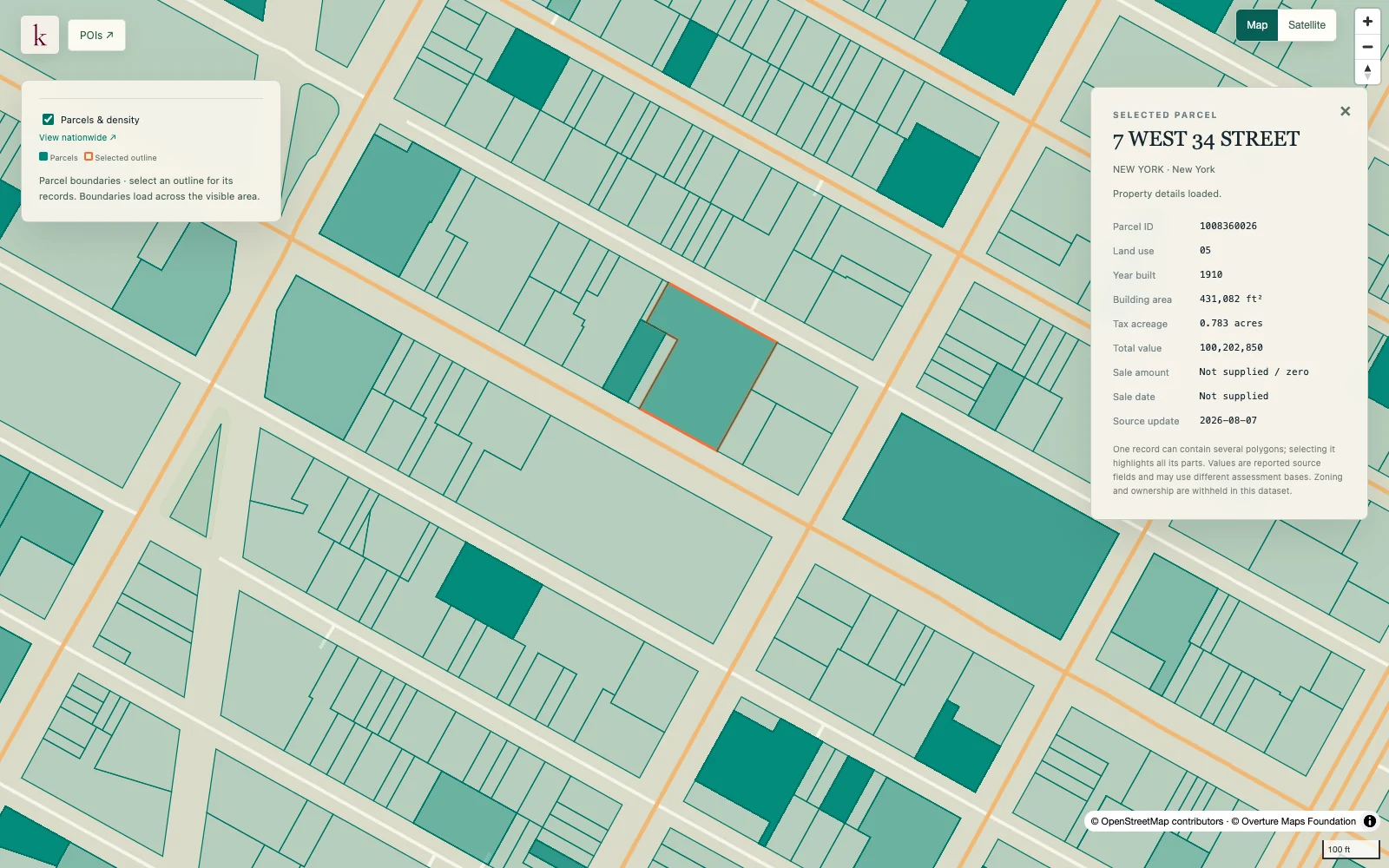
Midtown Manhattan, New York · Parcel boundaries and a selected property record.
What's in this dataset
System identity
Reported public water system name and identifier.
Boundary basis
System-sourced and modeled boundaries remain distinguishable.
Service attributes
Population served and connection counts where the source provides them.
Source geography
Published area geometry and original system attributes.
About this data
Does inclusion in an area guarantee a connection?+
No. A boundary match does not confirm an existing connection, extension feasibility, pressure or water available for a proposed load.
What does a modeled boundary mean?+
It is an estimated service area rather than a boundary supplied directly by the water system. That distinction is retained for follow-up with the provider.