Identify published critical habitat designations in a site's surroundings. Species, unit and designation status remain attached to each polygon feature so the geographical overlap can be investigated in context.
Published inventory or reporting period; see coverage for the source dates.
Observation frequency
Varies by underlying publication.
Reporting lag
A refresh does not change the date of the underlying observation.
Inventory checked
2026-09-23. Coverage dates describe this checked inventory.
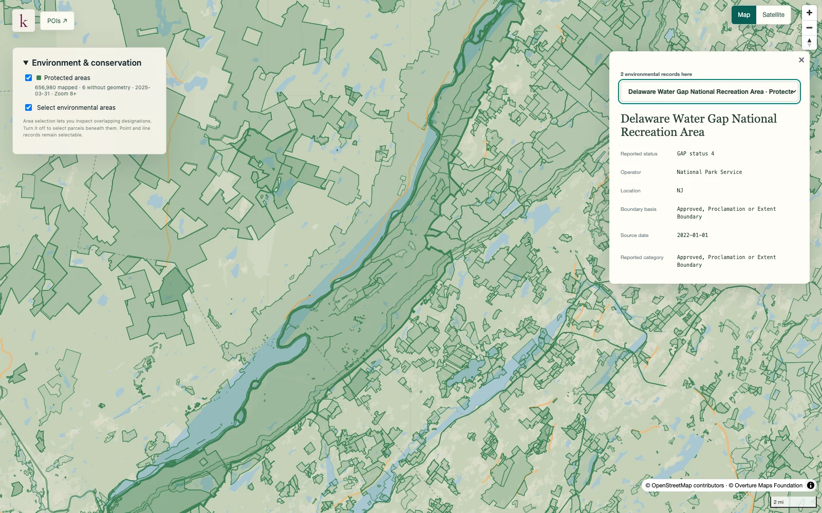
Delaware Water Gap · Protected-area boundaries and source context.
What's in this dataset
Species
Common and scientific names with source species identifiers.
Designation status
Final versus proposed habitat is separate from species listing status.
Unit and subunit
Published designation names or source qualifications.
Publication and references
Designation publication dates and references where supplied; qualification text is preserved.
About this data
Is designated habitat proof that a species is present?+
No. Critical habitat can include unoccupied areas. The layer describes designations rather than observations of individual species.
Which boundary governs if the map and written description differ?+
The official designation text governs the legal designation. Source GIS features support screening and can direct users to species-specific shapefiles for qualifications.