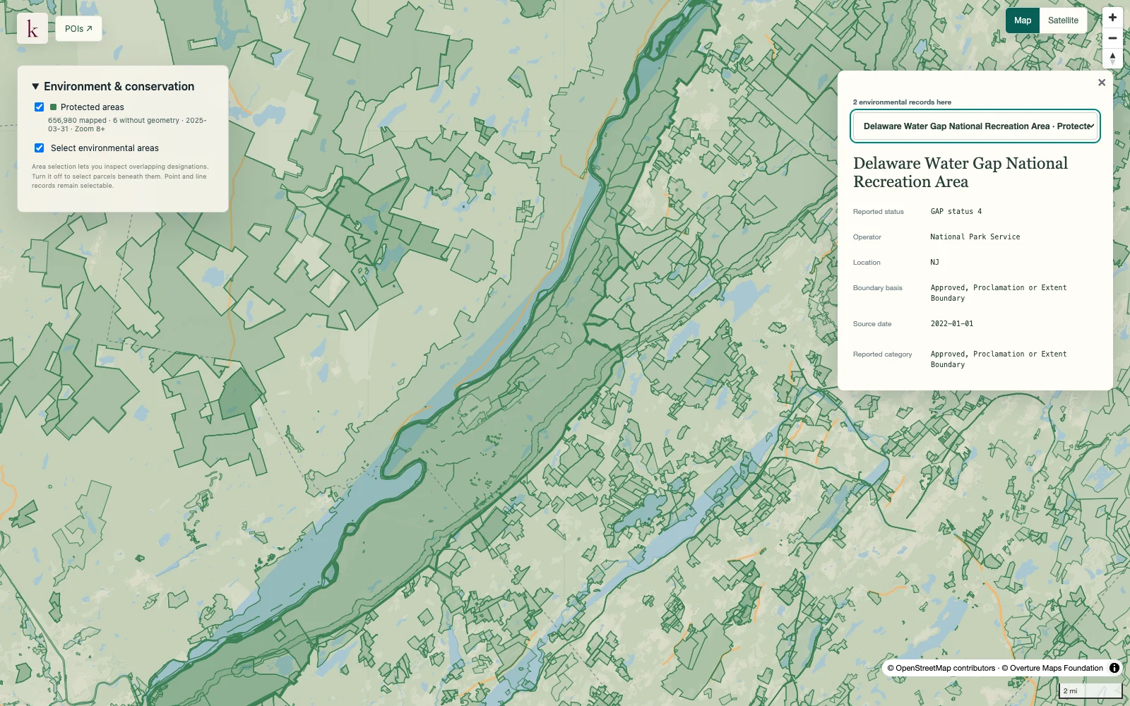
Understand the conservation and management designations around a property. The inventory keeps fee lands, easements and other protection mechanisms distinct, with management and access information available for review.
Published inventory or reporting period; see coverage for the source dates.
Observation frequency
Varies by underlying publication.
Reporting lag
A refresh does not change the date of the underlying observation.
Inventory checked
2026-09-23. Coverage dates describe this checked inventory.
Delaware Water Gap · Protected-area boundaries and source context.
What's in this dataset
Unit and protection mechanism
Unit names and fee, easement, designation, marine or proclamation classifications.
Manager and reported ownership
Source management, ownership category and easement-holder fields stay distinct.
Conservation and access
Conservation status, designation and public-access attributes describe different characteristics.
Source acreage and vintage
Reported area and GIS source date remain separate from the release date.
About this data
Does every mapped area prohibit development?+
No. The inventory records different ownership and management mechanisms. Conservation status, public access and permitted uses are distinct; the layer is not a development-permission decision.
Can overlapping acreage be added to find total protected land?+
The combined inventory intentionally includes overlapping features. Adding their acreage can count the same ground several times, and proclamation boundaries can enclose land with different ownership.