Home / Datasets / Linear critical habitat Linear critical habitat Include habitat designations represented as lines in an environmental review. Keeping these records separate from polygon habitat preserves their source geometry and avoids inventing a wider designated area.
Sign up 70+ linear habitat features · observed 2026-09-23
Coverage 70+ final-designation line features in the linear habitat inventory. The line service has separate coverage and refresh behavior from the hosted polygon inventory; the two counts are not a deduplicated species total. See what's inside Part of Land Features & Constraints
Time structure Reference snapshot
History available Published inventory or reporting period; see coverage for the source dates.
Observation frequency Varies by underlying publication.
Reporting lag A refresh does not change the date of the underlying observation.
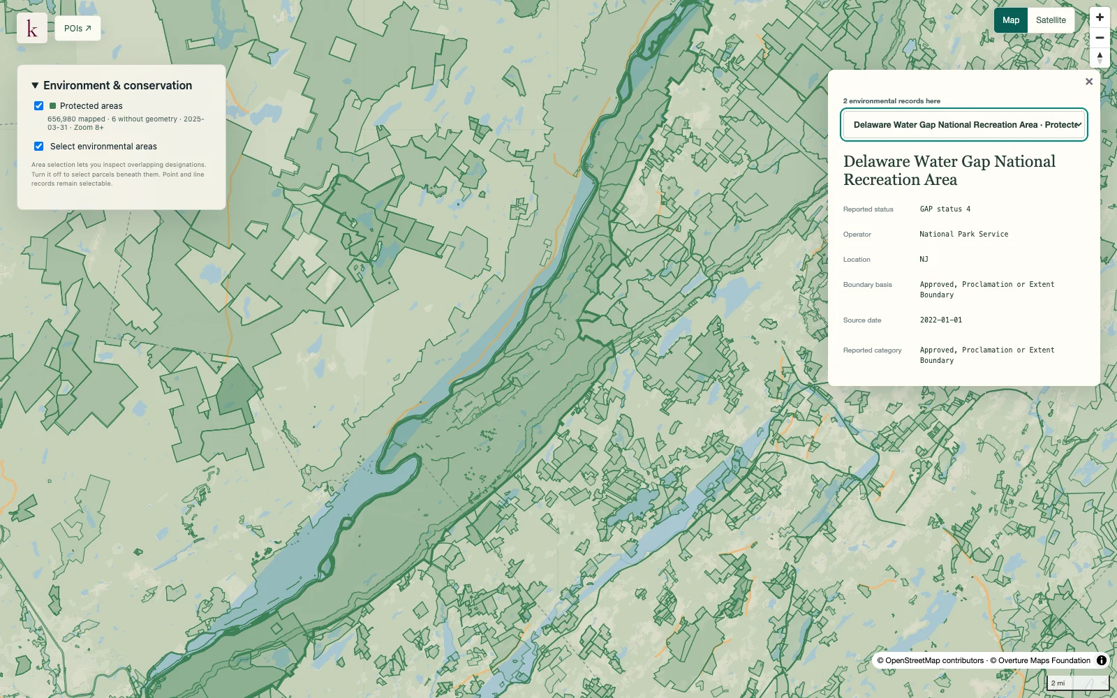
Inventory checked 2026-09-23. Coverage dates describe this checked inventory. Delaware Water Gap · Protected-area boundaries and source context. What's in this dataset
Species identity Common and scientific names and source taxonomic information.
Habitat status Reported final designation, separate from species-listing attributes.
Linear geometry Published habitat lines are retained without assuming a width.
Original measures Source mileage and acreage remain attributable to their original record. Questions worth exploring Identify linear designations near a parcel or proposed corridor. Avoid overlooking line-based habitat when reviewing polygon overlays. Tell us about your project
About this data How wide is a mapped habitat line?+ The source line does not establish a universal width. Korzy does not buffer it into an invented habitat polygon.
Are species listing dates the line's survey dates?+ No. Listing, habitat designation and geometry observation are different events. A precise geometry vintage is not supplied by this source.