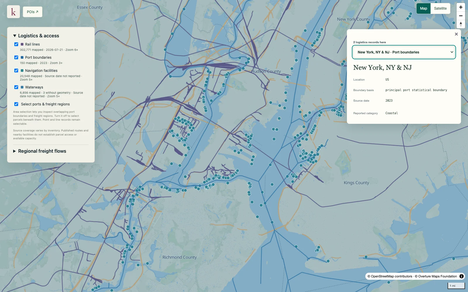
Look at the freight demand behind the map's roads, ports and terminals. regional estimates connect regions, commodities and transport modes so industrial-location research can include the scale and direction of trade.
Published inventory or reporting period; see coverage for the source dates.
Observation frequency
Varies by underlying publication.
Reporting lag
A refresh does not change the date of the underlying observation.
Inventory checked
2026-09-23. Coverage dates describe this checked inventory.
New York / New Jersey harbor · Port, rail and waterway context.
What's in this dataset
Origin and destination
Domestic regions and foreign trade-region dimensions where applicable.
Commodity and mode
Source commodity groups and domestic or international transportation modes.
Tonnage and value
Source quantities are normalized to tons and constant 2022 U.S. dollars.
Trade direction
Domestic, import and export relationships preserve their distinct geography.
About this data
Can these flows be drawn as actual truck routes?+
The records describe regional origin–destination estimates. They are not route assignments or counts of trucks using a particular road.
How are imports and exports located within the U.S.?+
For imports, the domestic origin is the U.S. entry region; for exports, the domestic destination is the U.S. exit region. Those points in the statistical chain are not necessarily the ultimate producer or customer.