Home / Datasets / Sewersheds and sewer service areas Sewersheds and sewer service areas Place a property within the published geography of wastewater collection. Sewershed boundaries connect site research to publicly owned treatment systems and expose whether the boundary was sourced or modeled.
Sign up 18K+ sewershed areas · observed 2026-09-23
Coverage 18K+ U.S. publicly owned system areas: 3.3K+ sourced and 14K+ modeled. The source excludes private systems and does not map every sewer pipe, lateral or connection. See what's inside Part of Utilities & Connectivity
Time structure Reference snapshot
History available Published inventory or reporting period; see coverage for the source dates.
Observation frequency Varies by underlying publication.
Reporting lag A refresh does not change the date of the underlying observation.
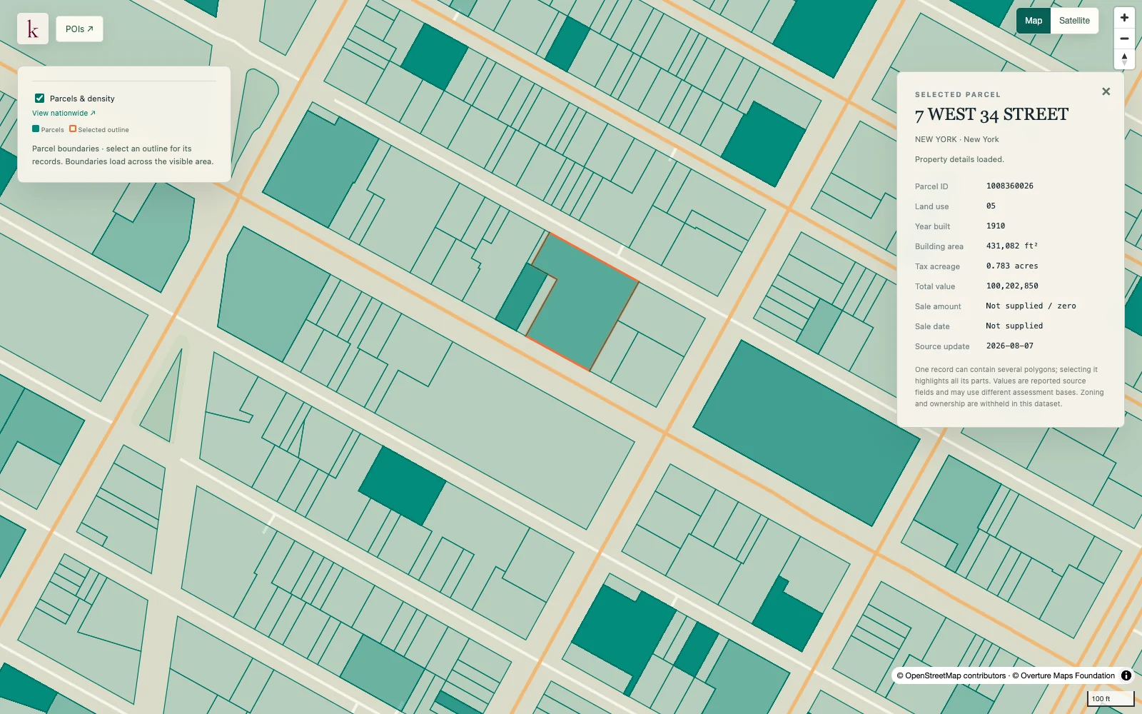
Inventory checked 2026-09-23. Coverage dates describe this checked inventory. Midtown Manhattan, New York · Parcel boundaries and a selected property record. What's in this dataset
System and facility identity Source names and identifiers connect areas to the reported system.
Sewershed boundary Published collection-area polygon retained as an area feature.
Boundary provenance Sourced versus modeled status informs how the boundary should be interpreted.
Original report attributes Available system details remain attached to their source record. Questions worth exploring Identify wastewater systems to investigate before committing to a site. Compare parcel coverage with nearby treatment-facility locations. Tell us about your project
About this data Are collection pipes included?+ The layer represents service or collection areas, not the alignments, diameters or depths of individual sewer pipes.
Does an overlap establish discharge capacity?+ No. A source boundary does not establish an industrial discharge approval, hydraulic capacity or a feasible connection to the network.