Identify treatment facilities near a property and connect them to broader wastewater-system geography. Source records retain facility and permit context for a more focused infrastructure conversation.
Published inventory or reporting period; see coverage for the source dates.
Observation frequency
Varies by underlying publication.
Reporting lag
A refresh does not change the date of the underlying observation.
Inventory checked
2026-09-23. Coverage dates describe this checked inventory.
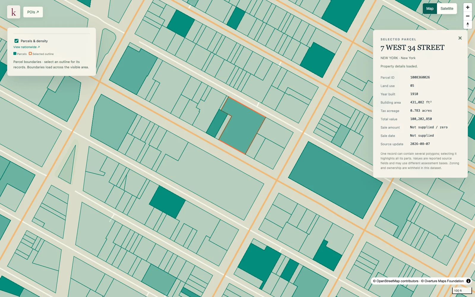
Midtown Manhattan, New York · Parcel boundaries and a selected property record.
What's in this dataset
Facility identity
Reported facility name and source identifiers.
Location
Point location and associated geographical fields.
Permit and treatment attributes
Original permit identifiers and treatment information where supplied.
Source basis
The treatment-system and permit-record context remains visible.
About this data
Can I compare spare treatment capacity?+
The present source does not provide a verified spare-capacity or design-flow measure. A facility's presence alone cannot establish that it can accept a new discharge.
Is distance to a plant a connection route?+
No. Straight-line proximity does not identify sewer alignment, elevation constraints, pumping requirements or a permitted discharge pathway.